Lake Springfield
 The Lake Springfield Watershed Project is a three-year project funded by the National Fish and Wildlife Foundation and Springfield’s City, Water, Light and Power focusing on gaining a better understanding of the trends in nitrate levels within the Lake Springfield Watershed and achieving a sustained reduction in nitrate loading from agricultural non-point sources by encouraging producers to implement BMPs throughout the 175,000 acre watershed.
In addition to CBMP, local ag retailers and farmers, the Sangamon County SWCD and the Lincoln Land Community College Ag program are vital partners in the success of the project.
Learn about this project's incentive program. For more information, contact Barb Mendenhall at abmende@sbcglobal.net.
IEPA Source Water Assessment Program (SWAP) Fact Sheet
Lake Springfield TMDL Stage 1 Report
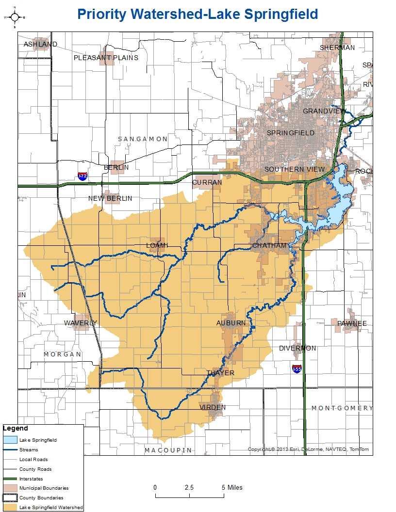
The Lake Springfield watershed encompasses 265 square miles or 170,000 acres in primarily Sangamon County, but also in Macoupin County. 86% of the watershed area is row crop agriculture, primarily corn and soybeans. There are rapidly developing urban areas to the south and west of Springfield, IL. along with other urban communities in the watershed including Chatham, Loami, Auburn, Thayer, and Virden. Lake Springfield covers 4,200 acres and contains 57 miles of shoreline. It serves as the drinking water supply for 165,000 customers from the City of Springfield and several surrounding communities.
The Lake Springfield Watershed Resource Planning Committee (LSWRPC) and the City of Springfield conducted an intensive five-year study assessing BMP effectiveness, and from that study provided incentive payments for landowners to install filter strips through the CRP program. In addition, the Illinois Council on Best Management Practices (CBMP) will coordinate a Lake Springfield Watershed Special Program with local agriculture retailers, Springfield City Water, Light, and Power (CWLP), Sangamon County Soil and Water Conservation District (SWCD) and Lincoln Land Community College (LLCC) to achieve a sustained reduction in nitrate loading from agricultural non-point sources into Lake Springfield through promotion and voluntary adoption of nitrogen management systems and scientific initiatives. To do this, agriculture retailers will work with Lake Watershed producers/landowners to manage nutrients as a “Nitrogen Management System”. Producers can enroll in the N-WATCH Program to inventory residual soil plant-available nitrogen, and can also enroll in the Lake Springfield Cover Crop Program.
Further reading:
Using cover crops to protect local watersheds
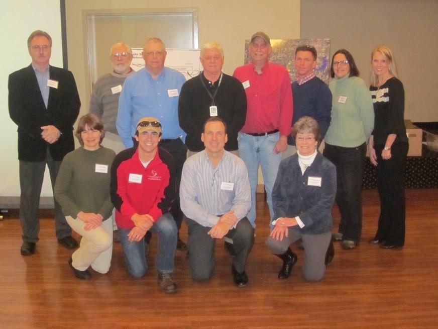
Lake Springfield Watershed Project Team
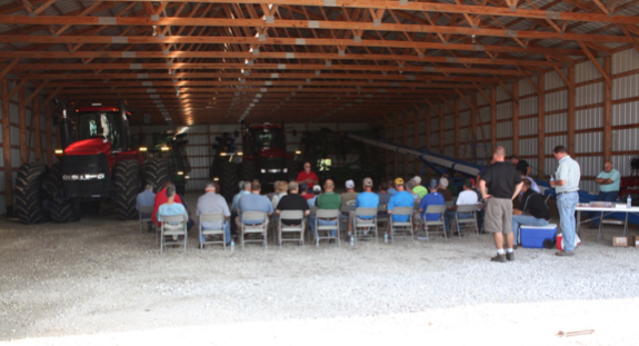
In an effort to reach more Lake Springfield Watershed (LSW) producers about the 2015 Cover Crop Program and the EPA 319 Grant opportunities, seven LSW producers (one from each LSW sub-watershed) were asked to host a "machine-shed-type" meeting at a location of their choice, and to invite LSW producers to attend. In total, 74 LSW producers/landowners attended these meetings. There were no agency people at these meetings, other than the presenters. It is estimated that the majority of the watershed’s cropland is farmed by these 74 LSW producers who attended these sub-watershed meetings. Four meetings were held in the hosts’ machine sheds, one at the Divernon Masonic Lodge and one at the Loami firehouse.
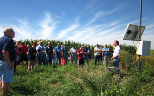
A tour of the Lake Springfield Watershed (LSW) was held on July 21, 2015, for LSW producers to tour the LSW, obtain information from people with knowledge and experience on cover crops, nutrient and water management, fertilizer utilization and various best management practices targeted at water quality protection and improvement.
Project Partners